
Hike # 39
Date – October 6, 2013
Location – Map 20 Primrose, Dufferin
Hi-Land Section
Distance – 13 km
Total Trail Distance – 470.8 (423.2 to go)
Hikers – Steve, Simon, Dean, Marlene, Benjamin,
Harold, Janette, Madeleine and Kent
Start –23.9 Eighth Sideroad
End – 36.9 Prince of Wales Road
Direction – North
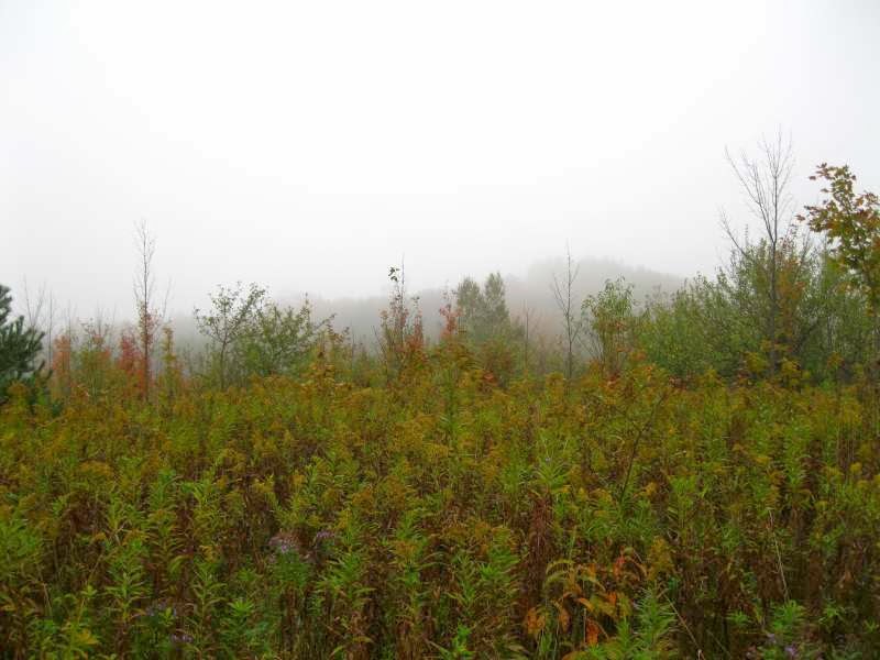
Weather – Grey and wet.
The pictures reveal a dreary grey day. What
they don't show is the pouring rain during the last hour of the hike that
soaked us through to the skin -- wetter than we have ever been before. Why
don't the pictures show it? My camera was ruined.
Even though the weather was terrible, we
had a good time. There are beautiful fall colours and we manage to have a short
picnic before the deluge. We see salmon (or trout) in the stream and have fun
exploring an abandoned mill (indicated on the map as a powerhouse) near the
town of Kilgorie. There are some cool crevices near an area called Rock Hill Corner, and even a section where we have to cross a spooky rock bridge.
It's not our preferred hiking weather, but as Janette says,
we're not real hikers if we stay home when it rains.


No comments:
Post a Comment