Date – August 16, 2014
Location – Map 36 Cape Croker
Distance – 17.6 km
Total Trail Distance – 597 (297 to go)
Hikers – Steve, Simon, Jacob, Dean, Marlene, Madeleine, Kent and Benjamin
Start – 17.1 Purple Valley Access Trail, Peninsula Section
End – 34.7 Cape Croker Indian Park, Peninsula Section
Direction – North
Weather – Rain and more rain
If we are going to
reach our goal of completing the Bruce Trail by September 2015 we need to cover
some serious distance in the next year. We have almost a third of the trail to
complete and now it's all far away, requiring hours of driving before we can
even set foot on the trail. We decide the best way to solve this problem is
drive once and hike lots. This means taking a week and hiking every day, with a
lofty goal of covering 100 km.
A fellow Bruce
Trail Conservancy member, who we met at the conservancy AGM, recommends Cape
Croker Indian Park as a great place to camp on the Bruce Peninsula, so we book
two sites for a week in August. Our plan is to start early enough each day that
we can get back to camp with enough time for normal camping activities, like
sitting.
Our first hike
starts where we left off on the May long weekend in 2012, and will end in camp.
Elza drops eight hikers off at the start and spends a lovely day drinking
coffee and reading by the campfire. For the rest of us, it's five hours and
28,000 cold and miserable steps (Madeleine is wearing a step counter) to cover
the 17.6 km.
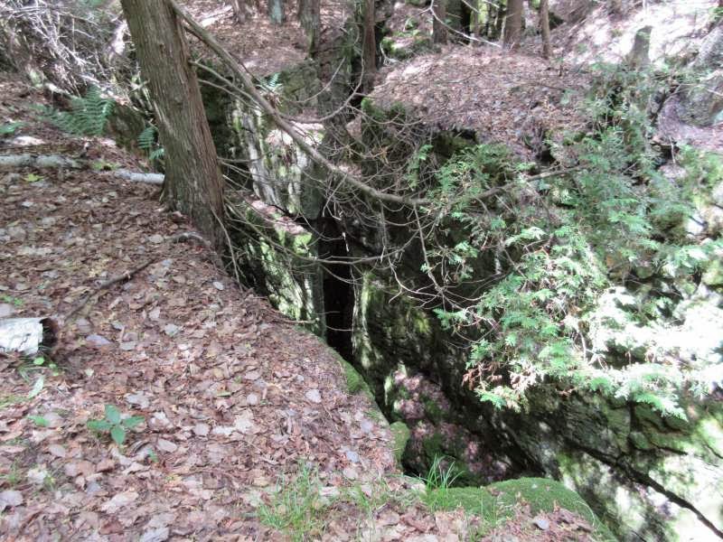
It's a miserably cold and wet day, but luckily we find a dry place to eat our lunch, under a massive outcropping of rock which has plenty of room for eight hikers or more. I don't take many pictures (I already ruined one camera in the rain) but there are weird white fungi and feathery brilliant, coral-like orange ones, deep, rocky crevices and leaves glistening in the rain.
Speaking of leaves,
there is also a lot of poison ivy, which makes all of us nervous, but
especially Madeleine.
We stop to sign a trail register.
Most of the hike is
high and flat, overlooking Georgian Bay, but we hike with our hooded heads
down, watching our footing and watching out for poison ivy. It's too bad the
weather isn't better, because the outlooks are spectacular.
Afterwards, when
asked to describe the day, the hikers say things like:
"Wet, very
wet."
"Cold, so cold."
"Long, very
long."
Madeleine says the
forest looks like Lothlorien.
Luckily, the
forecast is better for tomorrow.