Date – August 17, 2014
Location – Maps 37 Hope Bay and 36 Cape Croker
Distance – 18.1 km
Total Trail Distance – 615.1 (278.9 to go)
Hikers – Steve, Simon, Dean, Marlene, Madeleine, Kent and Benjamin
Start – 52.8 Jackson's Cove Road, Peninsula Section
End – 34.7 Cape Croker Indian Park, Peninsula Section
Direction – South
Weather – Beautiful, warm and sunny
Today the weather is warm and sunny. Elza drives seven hikers to the
start and we spend seven hours hiking south back to camp. (So much for having
lots of time to relax!)
It's an ambitious distance and because it's the second day, we're
feeling the pain. Steve says the hike is "brutal." Kent is wearing a
knee brace because of a soccer injury earlier in the summer and will only learn
later that he has done all six of these hikes with a torn ACL.
Simon and Ben say good-bye to us at the start and we don't see them for
the rest of the day. They make it back to camp an hour and a half ahead of us,
and from the bluffs on the north side of Sydney Bay we can see Ben on the bay
on the stand-up paddleboard. We can also hear the pow-wow that is going on at
Cape Croker Indian Park.
 |
| The last we see of Ben and Simon until we're done. |
 |
| Ben on the stand-up paddleboard, just off the beach at our campsite. |
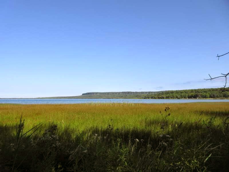
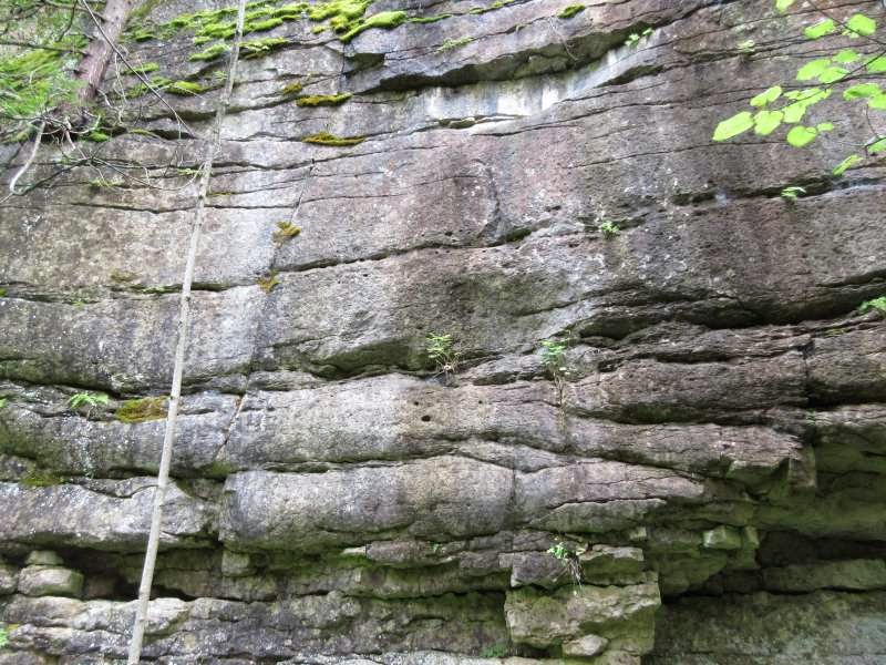
The forest is lush and rainforest-like, there are moss-covered rocks and
beautiful views over Hope Bay and Sydney Bay.
We have lunch on the beach at Hope Bay and fantasize about buying one of
the cottages or cottage properties that are for sale. There is seldom much sign
of civilization along the trail, so when the trail leads past a little gift
shop in Hope Bay, Madeleine and I spend a few minutes browsing. Kent and
Madeleine also buy ice cream and we listen to a group of locals having a jam
session on the ice cream shop patio.
Near the end we encounter glacial pot-holes or kettles — formed when
harder rock is swirled around and grinds into the softer rock.
The trail ends along a spectacular 900-metre boardwalk in Cape Croker
Indian Park. Our feet are very sore and when we get back to camp we all make a
bee-line for bathing suits and the lake. Except Steve, who is in extreme pain
and is sitting in the door of his trailer knocking back a mickey of rye (thanks, Jacob). Once
that's done, he joins us on the pebble beach next to our camp for a lovely
happy hour or two.
We've hiked two days in a row before, but not three. Can we really get
up and do this again tomorrow?


 |
| A recently-downed tree, blocking the path. |


 |
| Lunch on the beach in Hope Bay. |


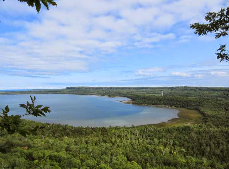 |
| A view of our campsite from the Sydney Bay Bluffs |