
Date – February 24, 2013
Location – Map 15 Cataract, to Map 16,
Caledon East
Distance – 15.5 km
Elapsed Time – 4.5 hours
Total Trail Distance – 376.8 (517.2 to go,
about 75 kilometres away from the half-way point!)
Hikers – Steve, Simon, Dean, Marlene, Benjamin
and Madeleine
Start – 19.0 Willoughby Road, Caledon Hills
Section
End – 34.5 Finnerty Sideroad
Direction – North
Weather – Around zero. Some gently falling
snow.
We've had a major hiatus imposed on us by
Christmas and by Ben's month-long recovery from a snowboarding concussion, but
some last-minute planning has a small group available to hike.
Before we leave the house, Tiffany Mayer
@EatingNiagara visits us to tap our maple trees. Spring is coming!
Steve is taking Jacob to the airport for an
8 a.m. flight to return to school after reading week, Elza drops Simon off at
our house on her way to an early-morning music practice, and we pick up
Madeleine at Square One after her GO Bus trip in from Waterloo. It's a small
group.

Steve meets us at the end point and we take
our van back to Willoughby Road.
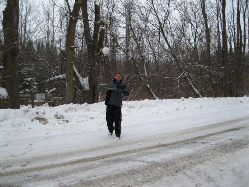
It's packing snow, so Ben and Simon start
with a snowball fight.


We have chosen this rather lengthy section
to close the gap between the Forks of the Credit Provincial Park, which we hiked
November 11, and the section through Glen Haffy which we did December 2. It's
also mostly along Escarpment Sideroad and Airport Road, so it seems good to do
it on a cool day.
What we haven't considered is how much snow
there will be on the sections of trail that are not along the road, and how few
hikers will have been there before us. The snow is DEEP, very deep, and it's
very tough slogging. Ben and Simon are the only ones wearing winter boots, so
we send them in ahead of us, to break through the knee-deep snow. Lucky for
them they are young and strong.
By about 5 kilometres in most of us realize
we've probably made a mistake, but there's no alternative but to plod on. This
time, it's not just Madeleine who thinks the hike is too long!

Despite the difficulties, we are mostly in
good spirits and the scenery is, as always, beautiful. In many ways, pushing on
through tough terrain is a metaphor for life. We push on.
We are grateful for the tunnel under Highway 10. It would be impossible to cross this road without it.
But there is also a very unpleasant section along
Airport Road, where traffic is screaming by and the shoulder is narrow and
muddy. The good thing is there is not much slush and salt spray because the
road is quite dry.

There are many beautiful homes and estates in these gently rolling hills, and their owners' wealth and fiercely guarded privacy (cameras, gates, fences and security systems) are what force us on to the road. For once, we are grateful for a plowed road instead of a meandering forest trail, although we wonder who needs so much privacy.

There are many beautiful homes and estates in these gently rolling hills, and their owners' wealth and fiercely guarded privacy (cameras, gates, fences and security systems) are what force us on to the road. For once, we are grateful for a plowed road instead of a meandering forest trail, although we wonder who needs so much privacy.
As we get back to our vehicles we are
stopped by a photographer in a vehicle emblazoned with his signage, who waves
us over and shows us his iPhone with a photo from a Toronto Star article, which
asks if a certain Caledon mansion belongs to Elton John. We tell him we haven't
seen the house in question. If it's true that Elton John has a home here, it helps
to explain the secrecy.
Harold and Janette will make up this hike
soon. Lucky for them, they have snowshoes, or they can wait for spring.


